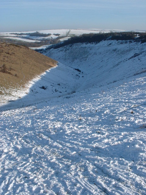
11am UPDATE: Two cold weather warnings have been issued as sleet falls over Brighton and Hove and snow settles on the South Downs.
A weather warning for snow and ice was extended to just north of Brighton and Hove this morning – but the city is still very unlikely to see any snow settle.
as you can see it’s drawing closer! #ch287 pic.twitter.com/z8N3PJZfkK
— Sussex Roads Police (@SussexRoadsPol) December 11, 2017
The existing weather warning was extended both into this afternoon and southwards towards the coast – although in the south of England, the impact is still likely to be low.
And another warning for ice was issued later in the morning which starts when darkness falls tonight until 11am tomorrow morning.
The first warning says: “Ice has formed on some surfaces Monday morning as well as some snow falling, with small accumulations above around 100 m. Some snow accumulations of 2-5cm are possible above around 100m but at lower levels no accumulations are expected. Instead a mixture of rain and sleet is most likely.
“Some injuries are possible from slips and falls on icy surfaces and there will probably be some icy patches on untreated roads and cycle paths.
“Some roads and railways are likely to be affected with longer and more difficult journeys.
This is an update to extend the warning into Monday afternoon, pull this a little southwards and to make this a combined snow and ice warning.
“With cold conditions and some snow lying over parts of England, as well as further rain pushing in from the southeast during the second half of the night, icy stretches have formed on untreated surfaces.
“At the same time some snow will fall over parts of southeast England this morning and early afternoon as well as over parts of East Anglia in the afternoon. However, most accumulations here should be above about 100m.
“This is only a low impact warning with impacts much less widespread and less significant than across parts of England and Wales on Sunday.”
The second ice warning says: “Ice is expected to form on some surfaces from late Monday afternoon and last overnight into Tuesday morning. There will probably be icy stretches on untreated roads, pavements and cycle paths with some injuries possible from slips and falls.
“Temperatures are likely to fall rapidly below freezing later on Monday across much of the area. This will leadto icy stretches, particularly where snow melt has occurred during the day, or where a mix of rain and snow has fallen across the south of the area.


More “man-made global warming”, or what an acquaintance in Canada refers to as “Al Gore’s dandruff”.
Admittedly we’ve had a few unseasonably warm winters, but we seldom see snow as early as December this far South, Texas has had it’s first snowfall for ten years and even Tropical Mexico is apparently at a standstill due to unprecedented snowfall.
Perhaps it’s time to drop the “global warming” SCAM and introduce some honesty to politics.
I won’t hold my breath though.