The South Downs National Park Authority has turned down a proposal to site a 65ft phone mast on downland between Rottingdean and Saltdean.
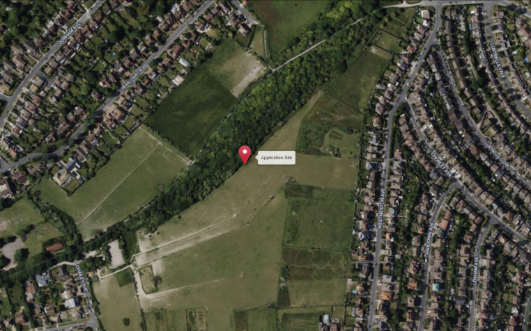
Rottingdean Parish Council was among more than 140 objectors to the proposal for a mast on land between Whiteway Lane, Rottingdean, and Westmeston Avenue, Saltdean, close to the Whiteway Bridleway.
The parish council said that a mast at or near this location – which is in the national park – would have had harmed the sightlines from all directions.
The stricter planning rules for national parks require proposals to be designed in a way that conserves and enhances the natural beauty, wildlife and cultural heritage of the area.
The national park authority said that this proposal failed to meet the test – and the applicant had not provided enough evidence for it to be permitted under rules favouring new telecoms masts.
It also said that the proposal was in conflict with the recently adopted Rottingdean Neighbourhood Plan policies aimed at protecting the green space around the parish and its wildlife corridors.
Six letters were sent to the national park authority in support of the 65ft – or 20-metre – lattice mast and base station.
Those in support of the proposal said that mobile phone signals in the area were poor, causing problems for businesses and people working from home.
They also said that it had become hard to pay for parking by phone, that the mast site was located away from homes, schools and shops and that no better site existed.
The applicant was Icon Tower Infrastructure Limited, formerly Radius BTS Limited. It provides phone masts and base stations for Britain’s main mobile phone networks – EE, O2, Three and Vodafone.
Icon Tower is a British subsidiary of an international phone mast firm, Radius Global Infrastructure Inc. Radius Global is based in America and owned by Swedish and Canadian investors.
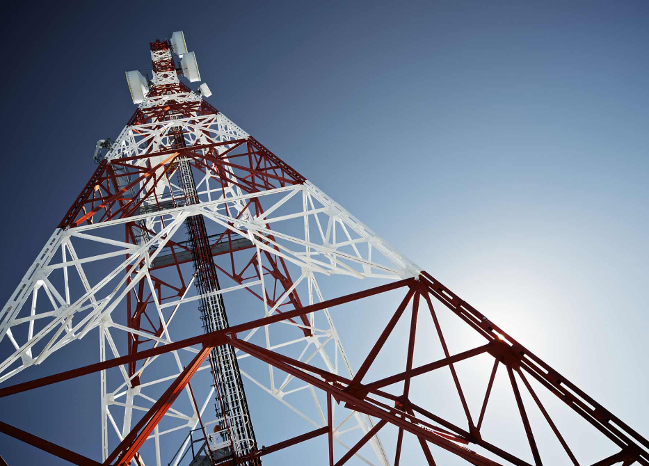
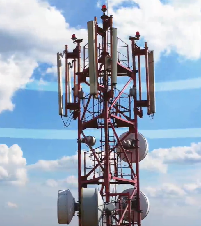
The firm wanted to put up a new 65ft-high “telecommunications lattice tower supporting an antenna headframe, plus ground-based equipment cabinets”. All the equipment would be within a secure fenced compound.
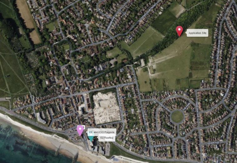
A report to the national park authority said: “The application site is within an area of the South Downs National Park that extends between the residential areas of Rottingdean to the west and Saltdean to the east.
“Sitting between these two built up areas there is a shallow ridge that reaches a height of 82m and a slope down to the west.
“A narrow strip of woodland runs approximately north east to south west across this slope and contains public rights of way. The woodland is also designated as a Local Wildlife Site known as Whiteway Lane.
“The proposed development would sit to the east of the woodland, approximately 4.5m from the nearest trees. The vegetation adjacent the site is described as being approximately 5m in height.
“The areas outside of the woodland are a mix of what appears to be extended residential curtilages and horse paddocks associated with the Rottingdean Riding Stables.
“The proposed development is for the creation of a compound of approximately 95sqm in area edged by a 2.4m high palisade fence.
“Within the compound, a 20m tall lattice tower would be erected with a headframe on a concrete base. There would also be space for the installation of support cabinets.
“Development is permitted, subject to the condition that … the visual impact of the development on the site is minimised so far as practicable, taking into account the nature and purposes of the site.
“The proposed development would be sited in a prominent location on a slope that rises above Rottingdean.
“From the west the proposed tower at 20m in height would be significantly higher than the adjacent trees that are described as being between 5m and 6m in height.
“The proposed tower would be a dominant and incongruous addition to this landscape.
“The submission highlights that the 20m height is the lowest required to achieve the technical requirements of the site and that the lattice style would allow the structure to be visually permeable.
“Additionally, the proposed location is close to dense tree cover and as remote as possible from residential properties.
“On that basis the applicant offers the view that the visual impact of the proposed development has been reduced so far as practicable.
“The National Park Authority does not agree with this assessment.
“The application is not supported by photo montages showing the impact of the proposed structure on key views and is not informed by a landscape and visual impact assessment.
“This is regrettable as this information would aid in assessing the impact of the proposed development.
“What is clear is that the tower at 20m in height would be highly visible in wider views as it would be significantly taller than the adjacent trees.
“Visibility is not automatically harmful. However, in this instance, the tower would be a highly prominent structure in this area of downland and would jar with its open character which is devoid of substantial infrastructure and development generally.
“The lack of sympathetic siting and appearance in a protected landscape is considered to be unacceptably harmful.
“The proposed development would also erode the natural character of the area and introduce a dominant, urbanising feature in the views across this gap in development that demarcates the boundary of the built up areas and the South Downs National Park.
“The tower is described as being robust and overengineered at the point of deployment with a view to being ready for future installations without the need for replacement or substantial alteration.
“The long-term plan for this development is that all four ‘mobile network operators’ (MNOs) will be offered the opportunity to share the proposed tower.
“This application has assessed the suitability of a number of sites throughout Rottingdean and the surrounding area.
“These sites have been discounted for various reasons, including negative impacts on the Newhaven Cliffs Site of Special Scientific Interest, the local skyline, views towards the English Channel, the Rottingdean Conservation Area, listed buildings and the South Downs National Park.
“Some of the options described also appear to be particularly sensitive (or) harmful and it is unclear why more practicable and feasible sites were not considered.
“The submission is also not supported by sufficient information to demonstrate that the siting of the proposed development would not have a negative impact on the adjacent Local Wildlife Site or the trees that make up the edge of the woodland.”
The report concluded: “The proposed tower would be overengineered at the point of installation.
“The application also fails to take any account of the landscape designation or provide any compelling analysis of the visual impact of the development.
“In the absence of this evidence, it cannot be ascertained with any certainty that the siting and appearance of the proposed development are such that its visual impact would be minimised, so far as is practicable, taking into account the nature of the site within a protected landscape and the National Park’s first purpose.
“The benefits of the installation in terms of high-quality communication for the area are acknowledged.
“However as great weight must be attributed to conserving and enhancing landscape and scenic beauty in national parks … in this instance the benefits do not outweigh the clear harm of the siting and appearance of the proposed telecoms infrastructure.
“The siting and appearance of the proposed development are considered to be unacceptably harmful and not outweighed by the public benefits of the scheme.”
The formal reasons for refusal were: “The proposed development, by reason of its siting and appearance, would result in a visually prominent and incongruous form of development that would have a harmful impact on the visual amenity and landscape character of the area.
“Insufficient evidence has been submitted to demonstrate that the siting of the proposed development would not have a harmful impact on the Whiteway Lane Local Wildlife Site or the adjacent trees that make up the edge of the woodland.”
To read the report, click here.
To read more about the application, click here.
To read or comment on planning applications in the South Downs National Park, click here.




Good. How are these things getting bigger and uglier by the year when the rest of the electronic world is shrinking? Questions should be asked why they are so massive and so many of them are needed when everything else is getting smaller and more discreet.
They need to be taller to cover wider areas with more transponders to allow more concurrent users using telecoms for more functions.
The alternative would be to have many more smaller towers – which would you prefer?
3G => 4G => 5G as we have progressed the wavelengths change and go shorter distances. The newer G’s don’t go through buildings as well as the older G’s did. Hence the need for bigger and more masts.
We also transfer a LOT more data over phones now. People want to sit and watch movies and talk on Facebook. In the past we were happy with the odd phone call and text.
So selfish backward nimbies win again. God forbid if you run a business in the Rottingdean area that relies on 5G for data or a decent mobile signal.
So parts Rottingdean stays with out mobile phone coverage
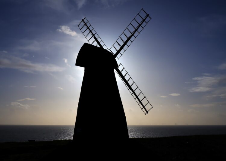
those very useful windmills were so more attractive scenery than those phone masts and turbines – but the smart phone addicts must be served.
What do you suggest instead?