Two new rain gardens could help stop flooding in Portslade by pooling water during heavy downpours – and improve water quality at the same time.

Brighton and Hove is a national flood risk area, ranked in the top 10 most vulnerable locations country wide. In July 2014 over 100 properties in Portslade and Hove were flooded following a violent storm.
Now, Brighton and Hove City Council is piloting a practical solution to address the risk of flooding and improve urban water quality by creating rain gardens in two Portslade parks.
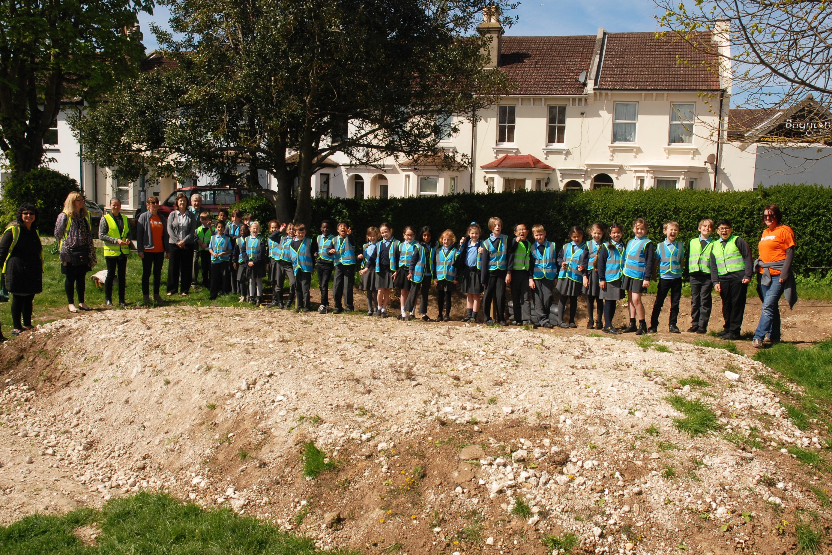
Work has recently been completed in Victoria Recreation Ground and Portslade Village Green (Locks Hill).
Rain gardens are designed to temporarily store storm water run-off before it drains away naturally over time. They can also reduce urban pollutants like oil by filtering them out of storm water prior to it soaking into the chalk aquifer which lies underneath Brighton and Hove and supplies all of the city’s drinking water.
They are created by making a shallow hollow which will accommodate excess water after heavy rain which could otherwise overload the street drains.
A further bonus is that native species of wetland plants and chalk wildflowers, such as ragged robin and wild marjoram, have been planted to add to the diversity of the park for wildlife and people.
Kate Rice, environment programme manager at the Environment Agency said: “We’re really happy to be able to support this partnership project which delivers multiple benefits for local residents by reducing surface water flooding, protecting the quality of our drinking water and providing a valuable wildlife and recreational resource.”
Councillor Gill Mitchell, chair of the environment, transport and sustainability committee, said: “These two rain gardens are the first to be created in public parks in the city and will play an important part in helping to build environmental resilience as our climate changes.”
The project received grant funding support from the Environment Agency and is part of the Brighton and Lewes Downs UNESCO Biosphere’s mission to connect people and nature as an international demonstration area for sustainable development.
A study identified these two locations suitable for the creation of the rain gardens and local households and businesses were consulted.


I’d love to know what measurements are going to be taking place to identify how well the rain gardens actually perform, and how many more will be needed, and of what size, to make a signigificant difference to the amount of flooding in Portslade along the route of the old river.
What are Gill Mitchel’s project success criteria?
As the excess water is being diverted back underground, rather than through sewers, I assume this water will re-appear in the old river – albeit delayed.
I wonder if any geological survey of the area was made prior to implementing this – especially as the water would seem to end up below the allotments by the side of Windlesham Close.
I’m also concerned about the assumption that any polluted water would be cleaned by allowing it to go back into the ground – wasn’t this the very problem that the activists had concerns about with the supposed risks of fracking?
I just hope this is not another hair-brained environmental scheme that ends up being an ecological disaster in the name of promoting floral diversity.
It does rather sound as if someone said “let’s dig a couple of holes to slow up the water draining away to where it’s always gone”. What happens to the wetland plants when it stops raining? Presumably there will be calls for the holes to be fenced off to stop anyone falling in, or using the pond as an impromptu swimming pool – maybe an earner via an entry fee. Waterslide anyone?